Log in
All resources
Create a design
34,645 Free Images of 1650 Maps
pictorial maps
old manuscript maps
spanish-language maps
1632 maps
en especial del descubrimiento del reino de la california
descripciones geográphicas e hydrográphicas de muchas tierras y mares del norte y sur en las indias
maps by nicolás de cardona
watercolor maps
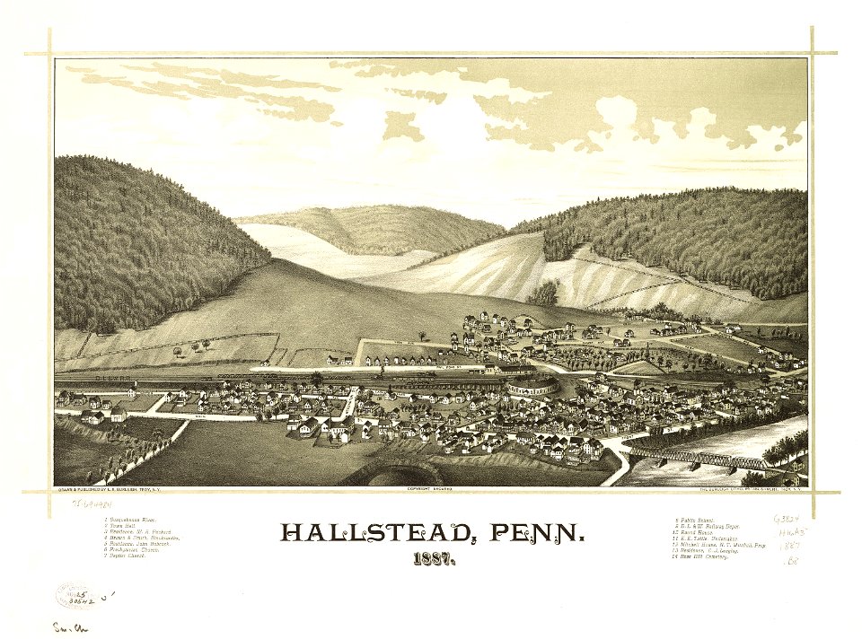
maps in the library of congress
town maps by l. r. burleigh
1780 maps of pennsylvania
1780 maps of new jersey
18th-century maps of puerto rico
18th-century maps of cuba
prints from bonne atlas de toutes les parties at the peace palace library
1780 maps of canada
old maps of mexico
pictorial maps
dutch 17th-century prints in the rijksmuseum amsterdam
old maps of the philippines
copper engraving
gerard valck
16th-century maps of brazil
old maps of africa
maps in musée de la compagnie des indes
maps of lorient
maps with cartouches
atlas van der hagen
old maps of pernambuco
1665
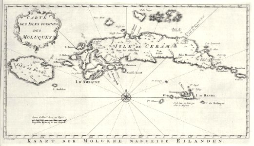
maps of the dutch east india company - indonesia
maps of east java
victor levasseur - maps of the world
old maps of senegal
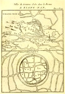
french-language maps of china
changzhou
fonds ancely - bibliothèque municipale de toulouse - maps
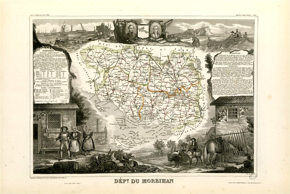
victor levasseur - maps of france
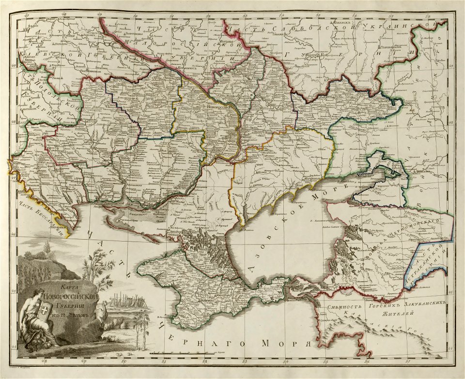
old maps of the sea of azov
old maps of crimea
prints from dankaerts historis at the peace palace library
maps by johannes janssonius
pennsylvania
hallstead
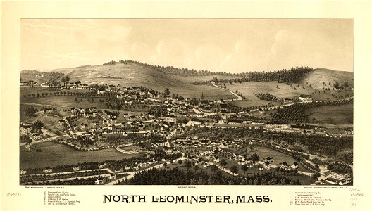
old maps of massachusetts
massachusetts
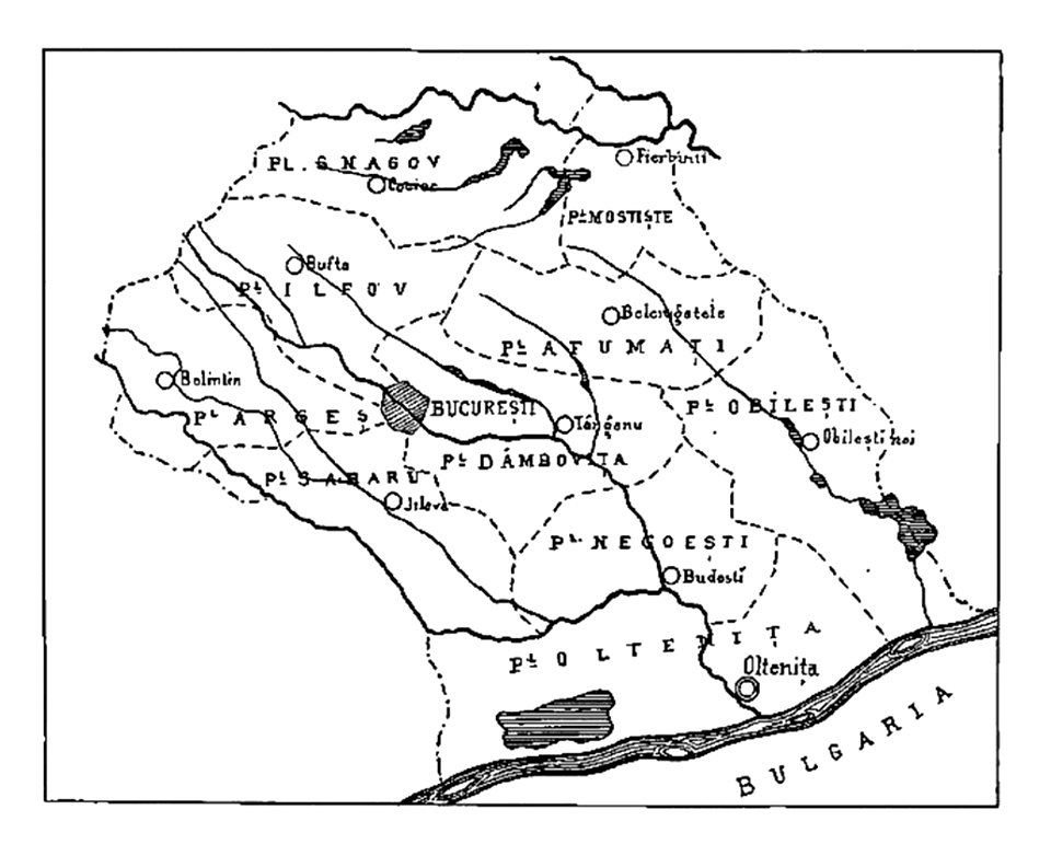
history of oltenița
ilfov
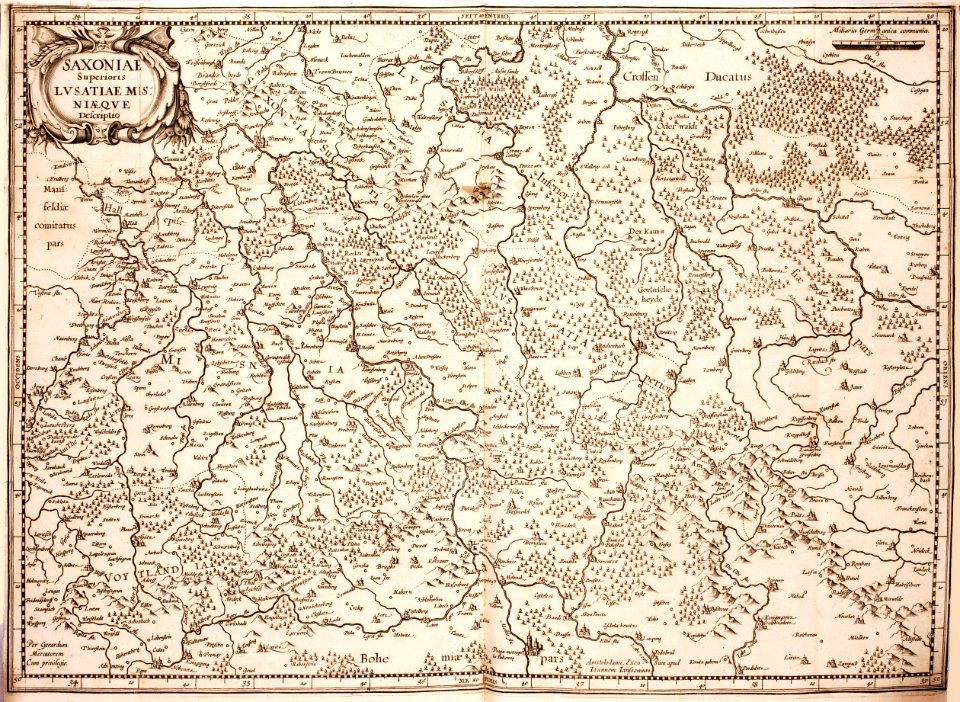
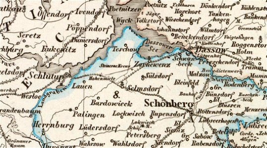
old maps of mecklenburg
maurin
new york
hunter
maps in the library of congress
maps by matthäus seutter
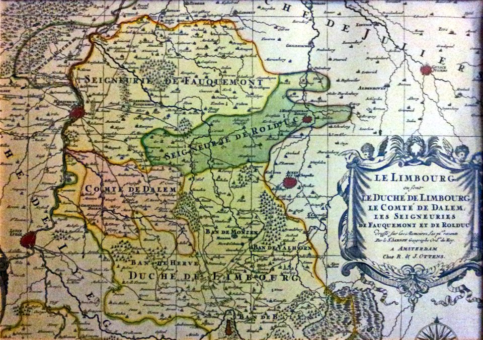
netherlands
limburg
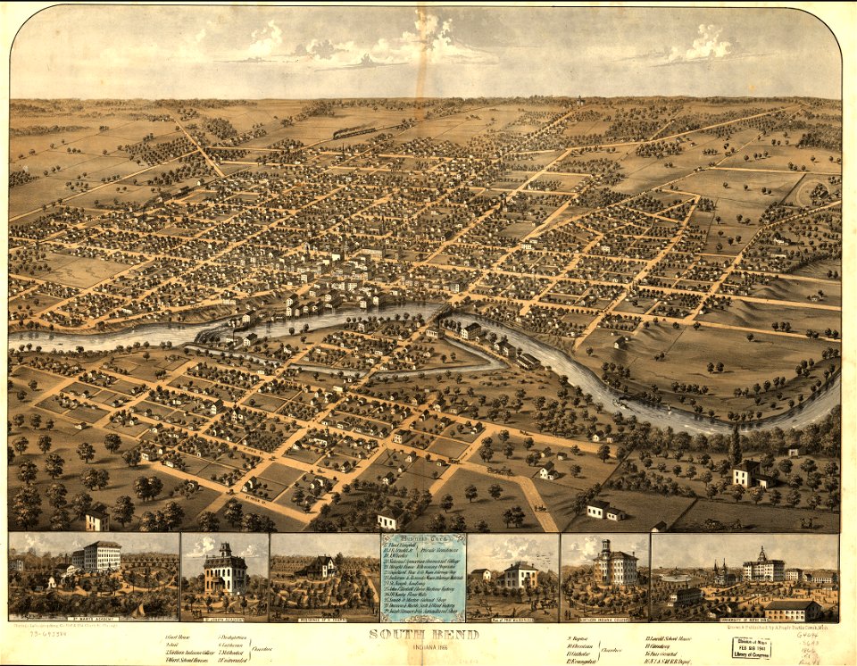
south bend
indiana
animals
india
elburg
wesel
historical images of luxembourg palace
jardin du luxembourg
maps of the dutch east india company - indonesia
banda islands
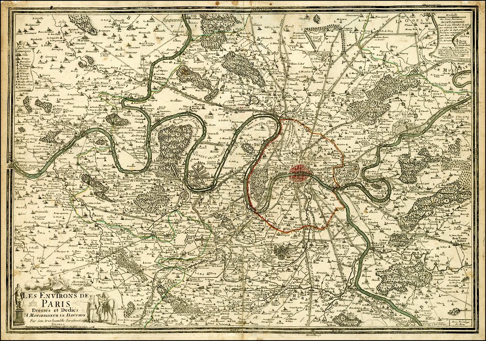
maps of paris in the 16th century
ludovico ariosto
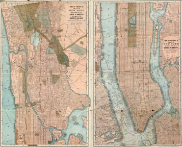
old maps of manhattan
new york city
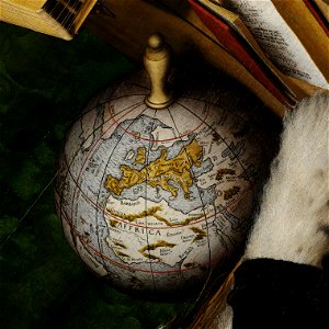
16th-century globes
paintings of globes
old maps of earth's hemispheres
french-language maps
old maps of the iberian peninsula
1700s maps of portugal
maps from the mechanical curator collection
old maps of nepal
maps by jodocus hondius
1606 maps
charles i at the hunt - anthony van dyck - louvre inv 1236
baroque painting
images from the new york public library
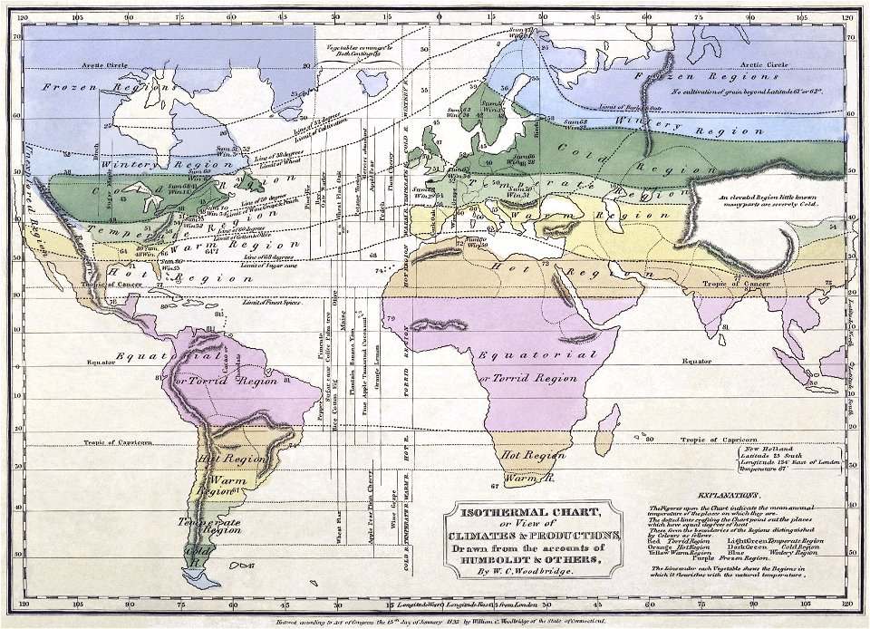
alexander von humboldt
old manuscript maps
pictorial maps
old maps of mexico
pictorial maps
old manuscript maps
pictorial maps
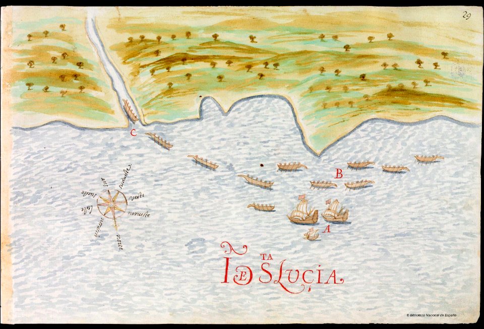
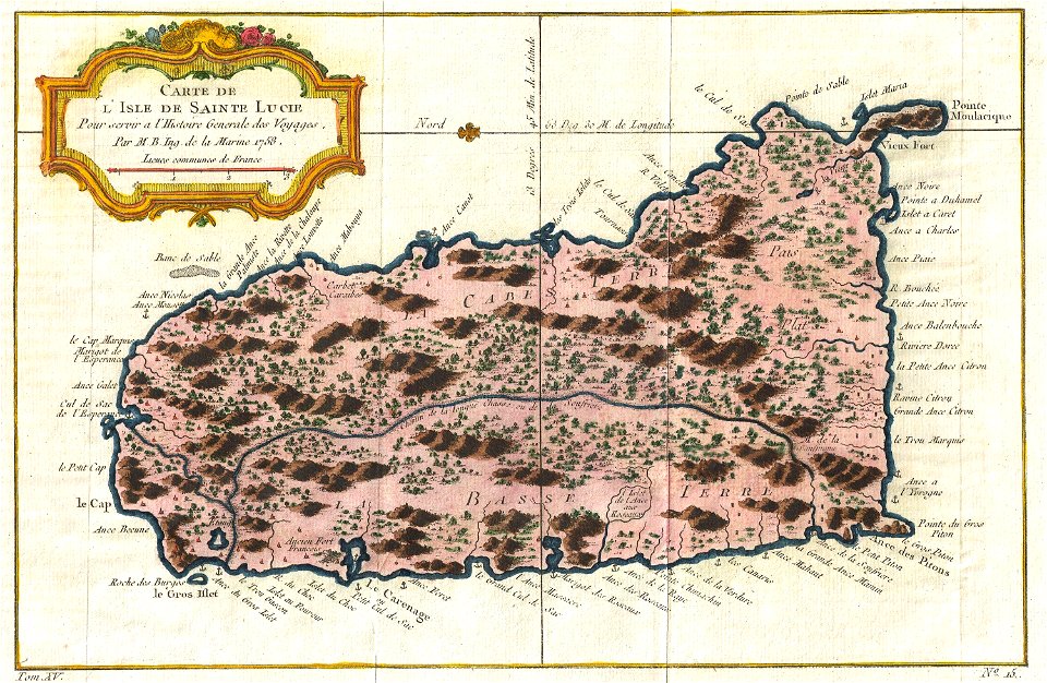
old maps of saint lucia
pictorial maps
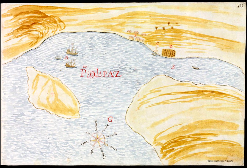
baja california sur
la paz
old manuscript maps
pictorial maps
maps of paris from the barry lawrence ruderman antique maps inc.
maps of paris in the 1760s
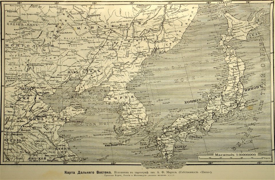
old maps of japan
1904
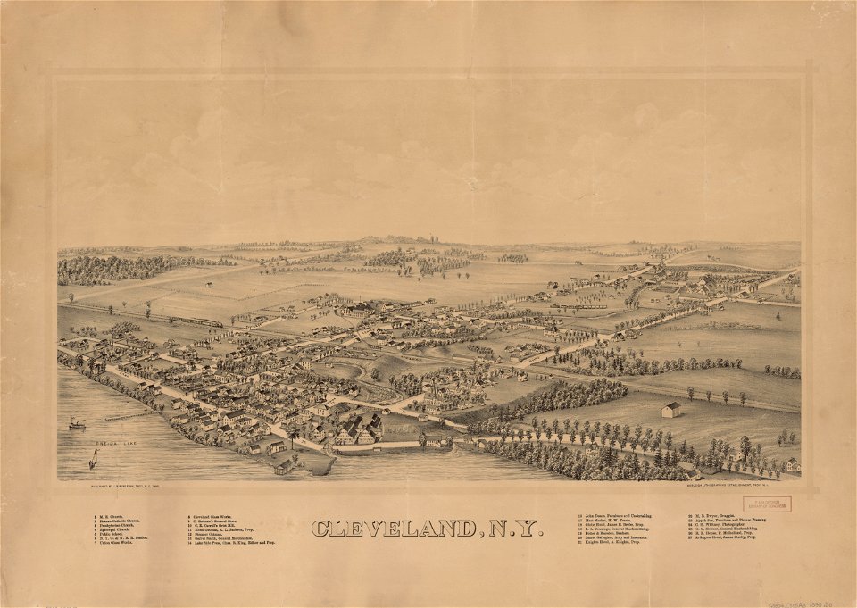
cleveland
new york
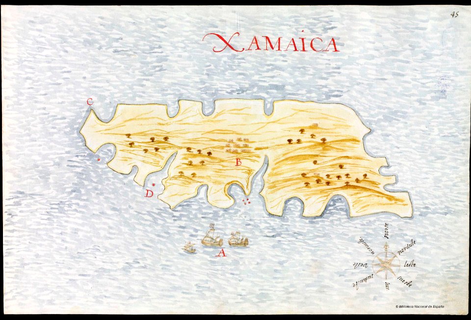
old manuscript maps
pictorial maps
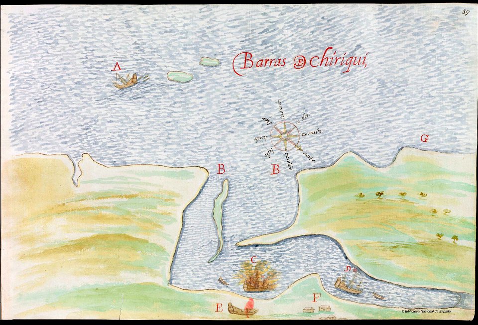
old manuscript maps
pictorial maps
old manuscript maps
pictorial maps
old manuscript maps
pictorial maps
old manuscript maps
pictorial maps
old manuscript maps
pictorial maps
old manuscript maps
pictorial maps
old manuscript maps
pictorial maps
old manuscript maps
pictorial maps
old manuscript maps
pictorial maps
old manuscript maps
pictorial maps
old manuscript maps
pictorial maps
old manuscript maps
pictorial maps
old manuscript maps
pictorial maps
old manuscript maps
pictorial maps
old manuscript maps
pictorial maps
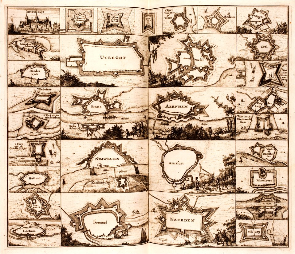
fortifications in the netherlands
netherlands
ferdinand magellan
new world
old maps of the history of venezuela
1855 maps
old maps of the sea of japan
1855 maps
old maps of île-de-france
1855 in paris
old maps of the sea of azov
maps of circassia
maps made in the 18th century
old maps of europe
cambridge
new york
maps with cartouches
atlas van der hagen
pointing in art
theodor de bry
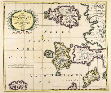
16th-century maps of the mediterranean sea
16th-century maps of the black sea
maps by jacques-nicolas bellin
jacques-nicolas bellin
maps by jacques-nicolas bellin
old maps of saint lucia
maps by jacques-nicolas bellin
jacques-nicolas bellin
old maps of the río de la plata
old maps of uruguay
old maps of new york (state)
new york
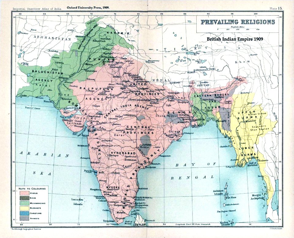
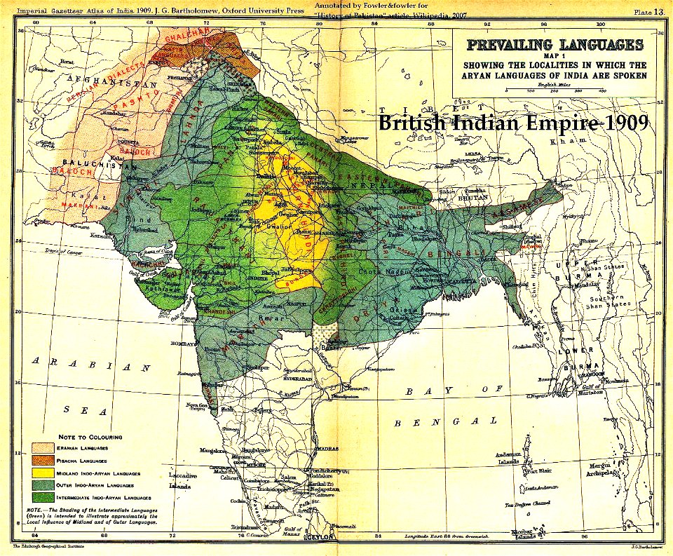
old maps of the indian subcontinent
maps of british india
atlantis magni tomus secundus (biblioteca comunale di trento)
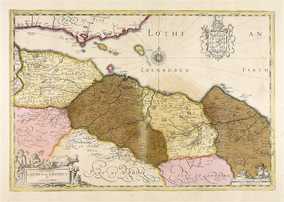
old maps of lothian
old weather and climate maps
1880 maps
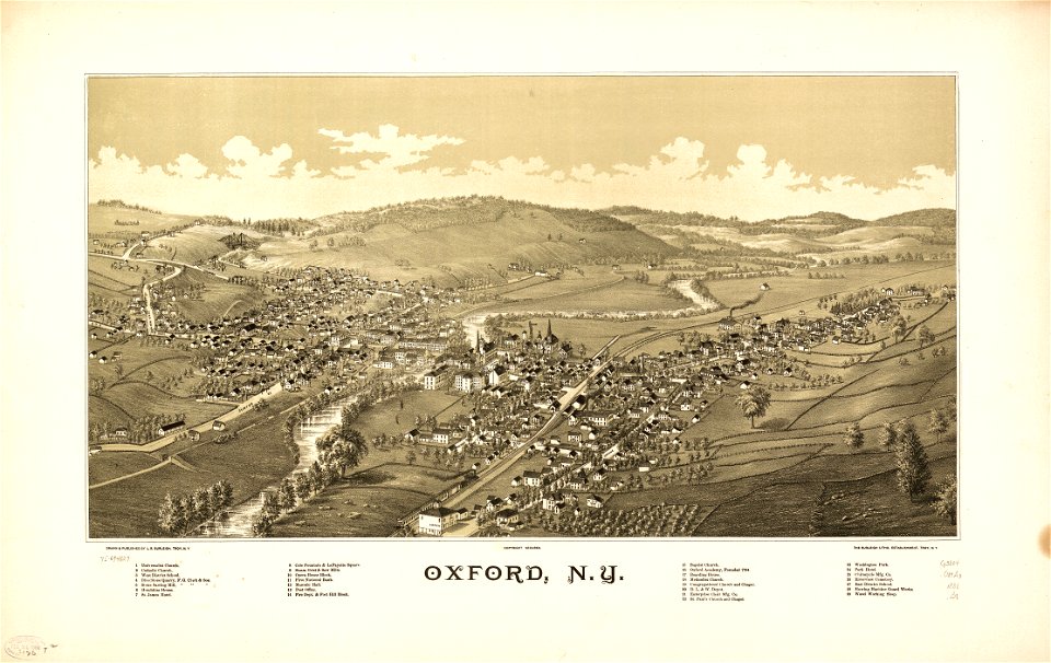
new york
oxford
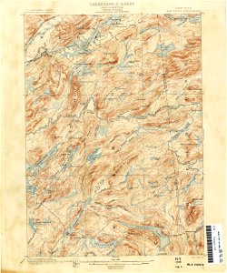
old forge
new york
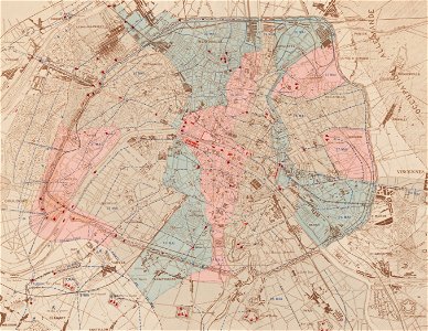
maps of paris in the 1870s
1871 in paris
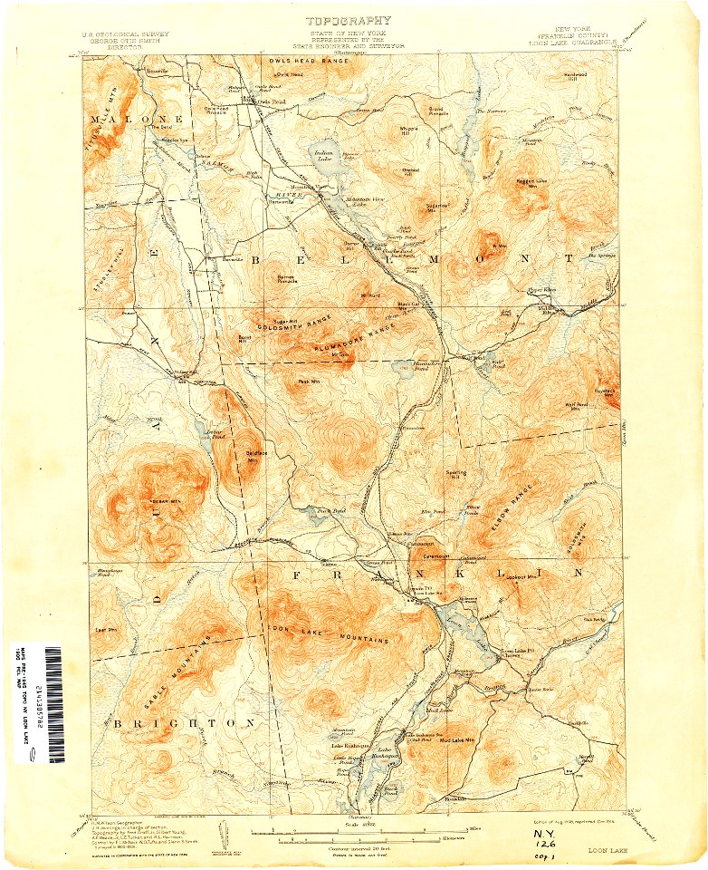
loon lake
new york
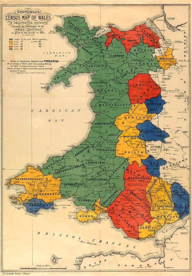
maps in the national library of wales
old maps of whole wales (alone)
maps made in the 18th century
johann baptist homann
paintings by simon vouet in the alte pinakothek
baroque painting
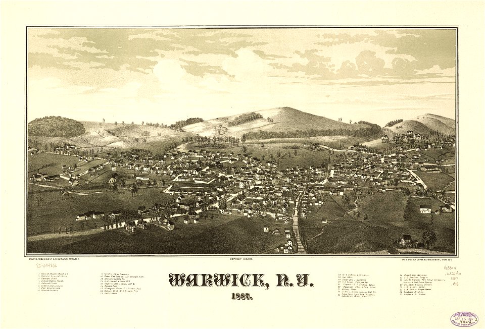
maps in the library of congress
town maps by l. r. burleigh
maps in the library of congress
town maps by l. r. burleigh
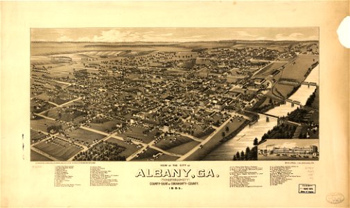
georgia
albany
georgia
albany
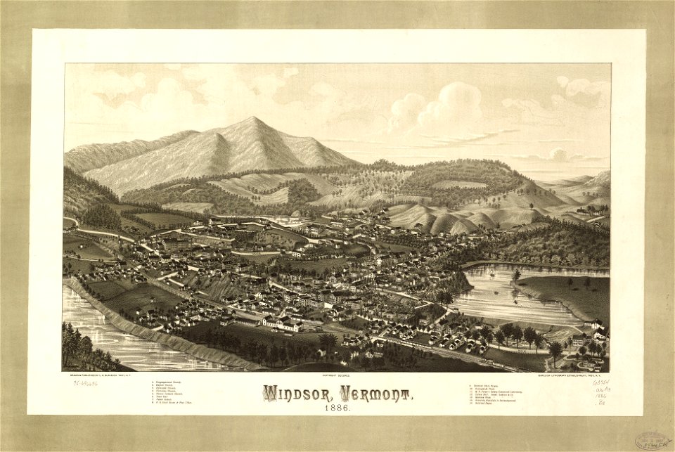
vermont
windsor
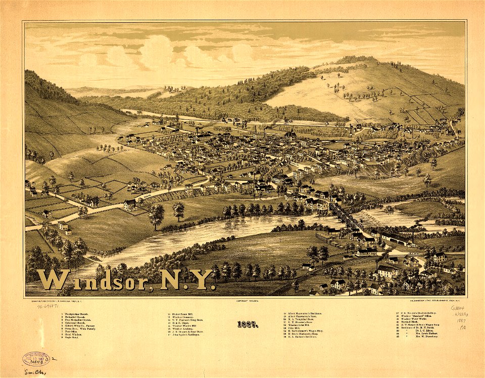
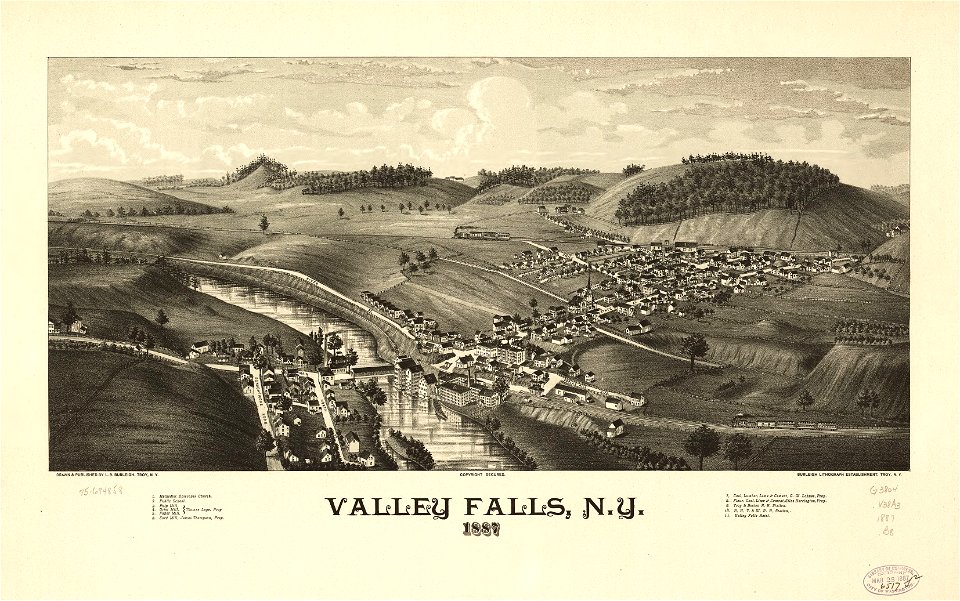
maps in the library of congress
town maps by l. r. burleigh
maps in the library of congress
town maps by l. r. burleigh
maps in the library of congress
town maps by l. r. burleigh
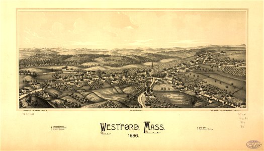
massachusetts
westford
randolph
vermont
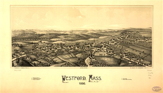
massachusetts
westford
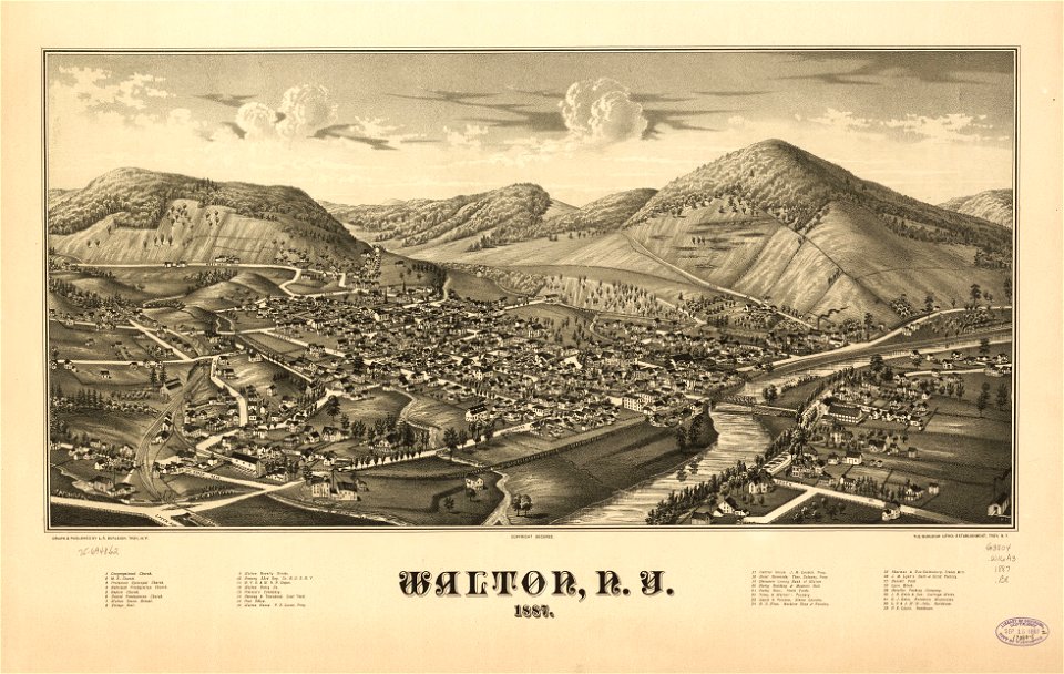
maps in the library of congress
town maps by l. r. burleigh
3001 - 3100 of 34,645
Next page
/ 347